

Artha Graha Peduli
The Artha Graha Peduli Foundation (AGP) is a non-profit organization founded by Artha Graha Network (AG Network) in the year 1990.
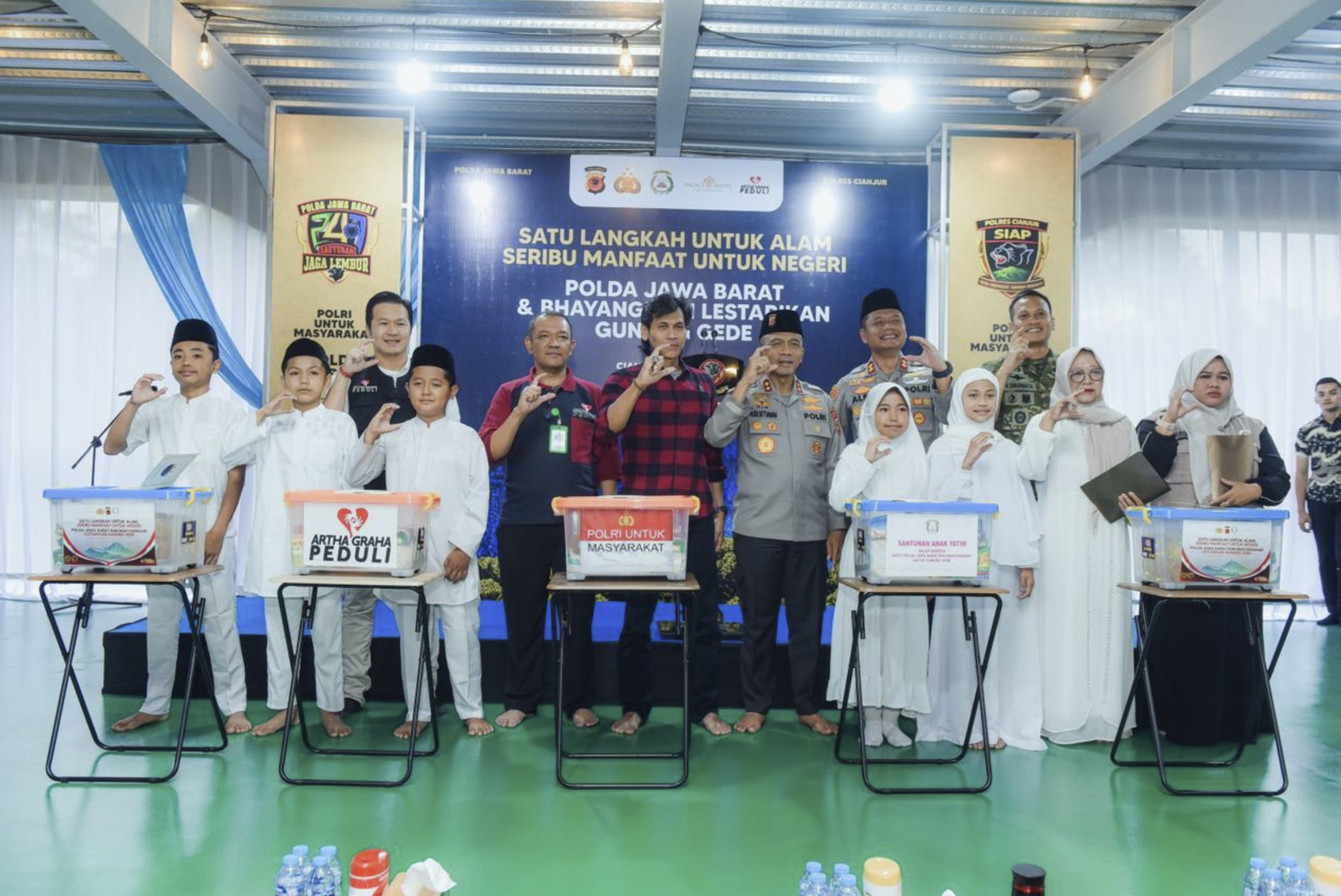
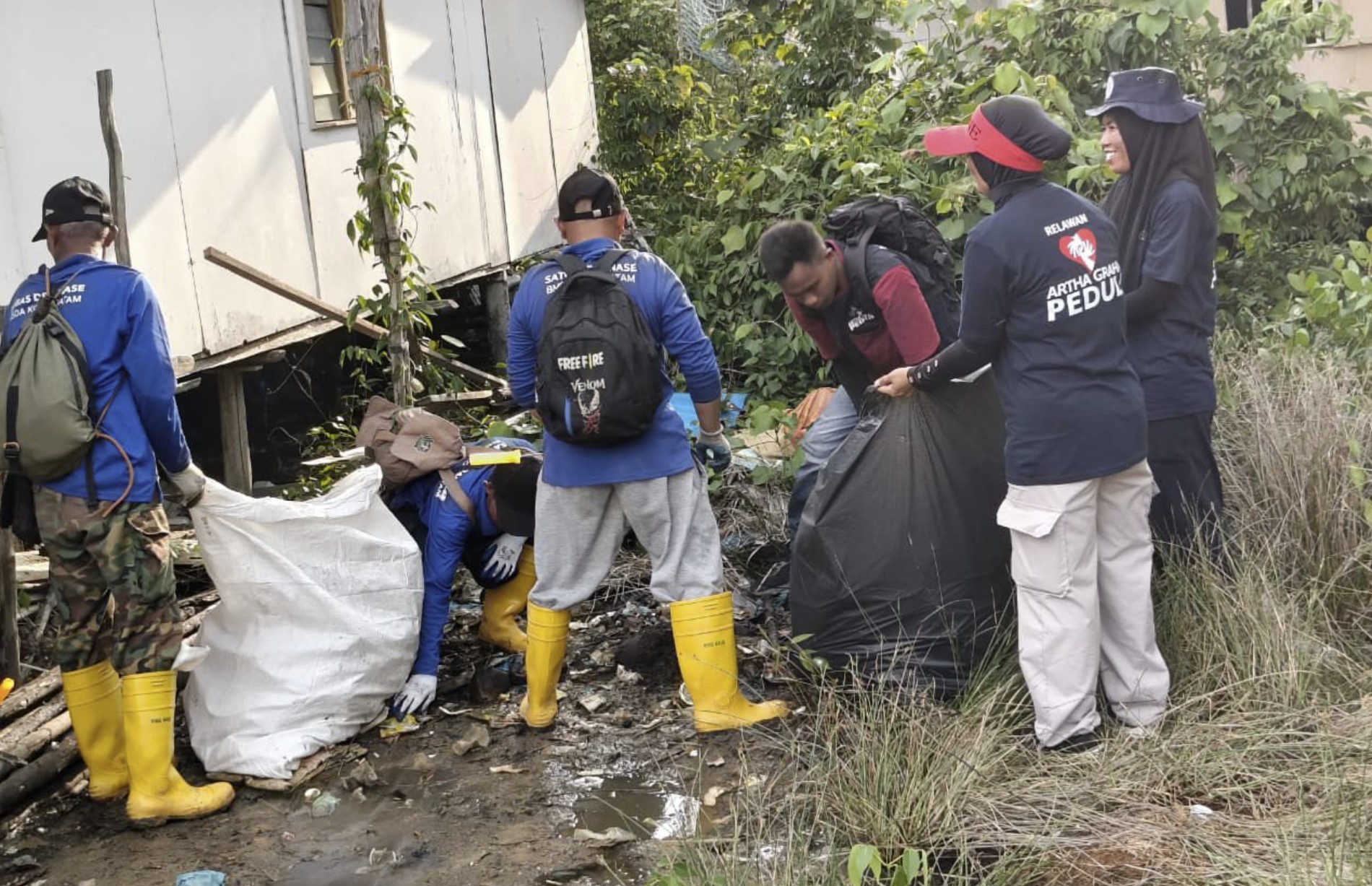
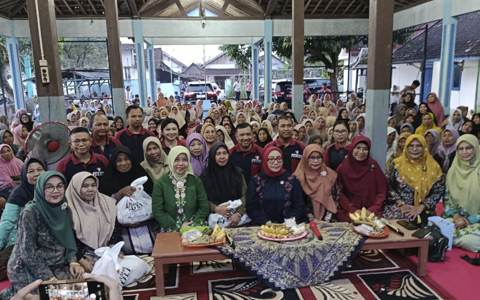
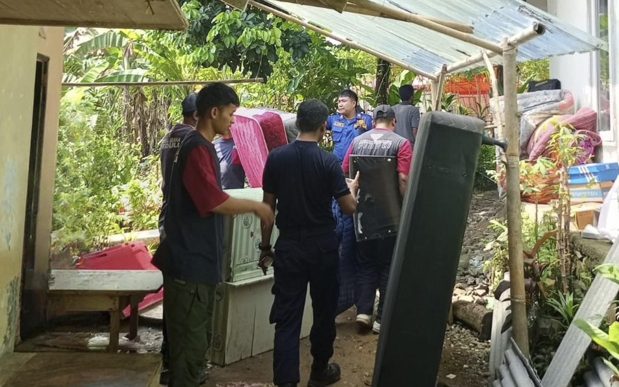
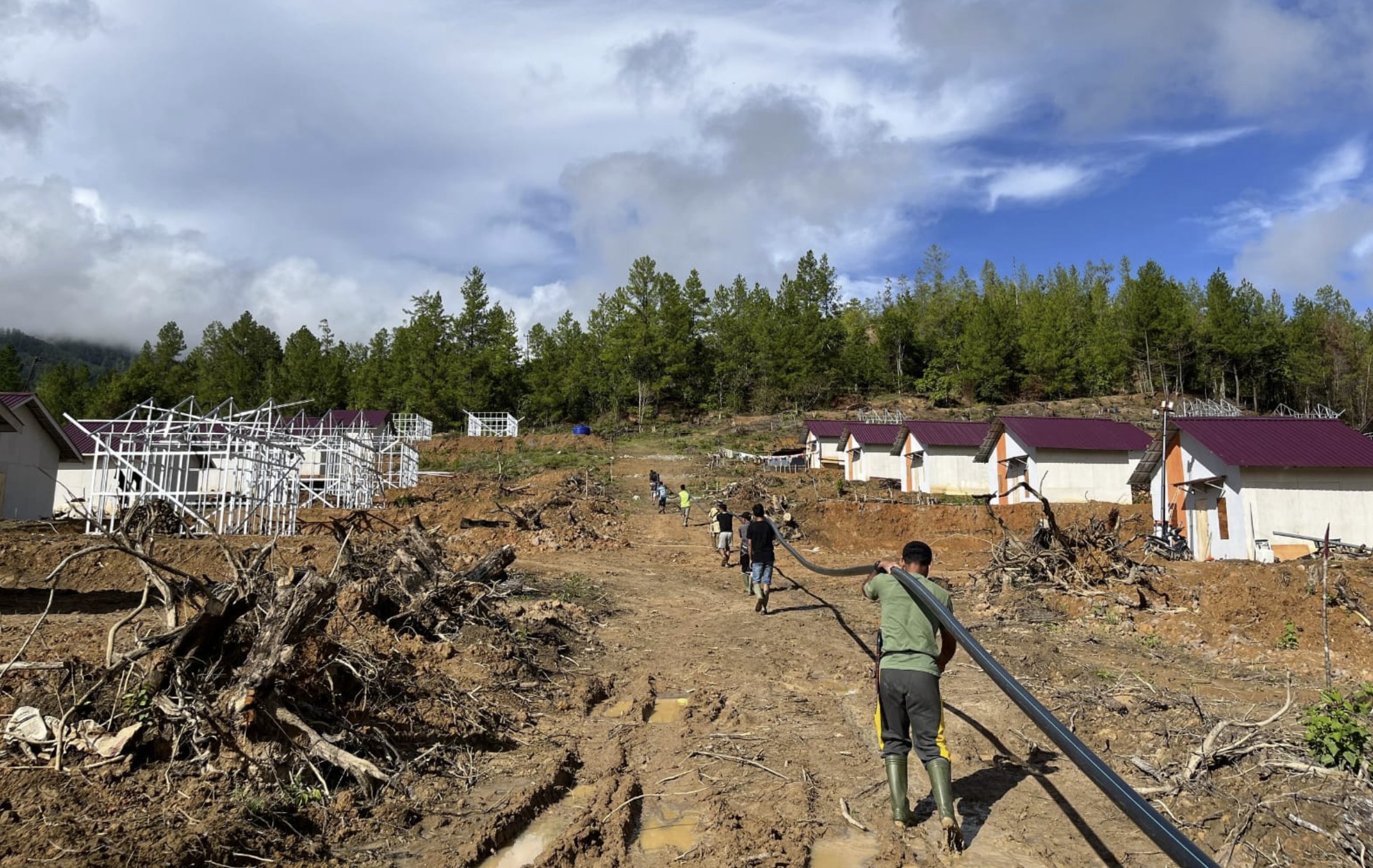
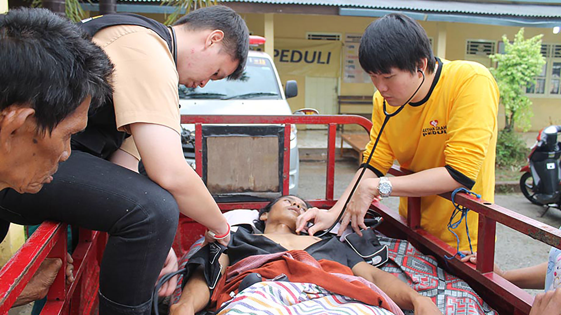
The Artha Graha Peduli Foundation (AGP) is a non-profit organization founded by Artha Graha Network (AG Network) in the year 1990. The Artha Graha Peduli Foundation is formed to provide Corporate Social Responsibility activities for the local communities in Indonesia in order to tackle issues such as economic, social and environmental issues. The Artha Graha Peduli Foundation conducts its CSR activities based on its 5 pillars which are Environmental awareness, Disaster response, Social affairs, People empowerment, and Law and order. With the fundamental philosophy of “privately own, public use”, Artha Graha Peduli is fully aware that its role in the business world is inseparable from the moral obligation to those in need of assistance such as victims of natural disasters and etc.

5 Pilars for Helping People


Latest News
Companies Who Help Us


#arthagrahapeduli